Ulm · 1482 · Lienhart Holle

Cosmographia (Geographia)

Claudius Ptolemaeus

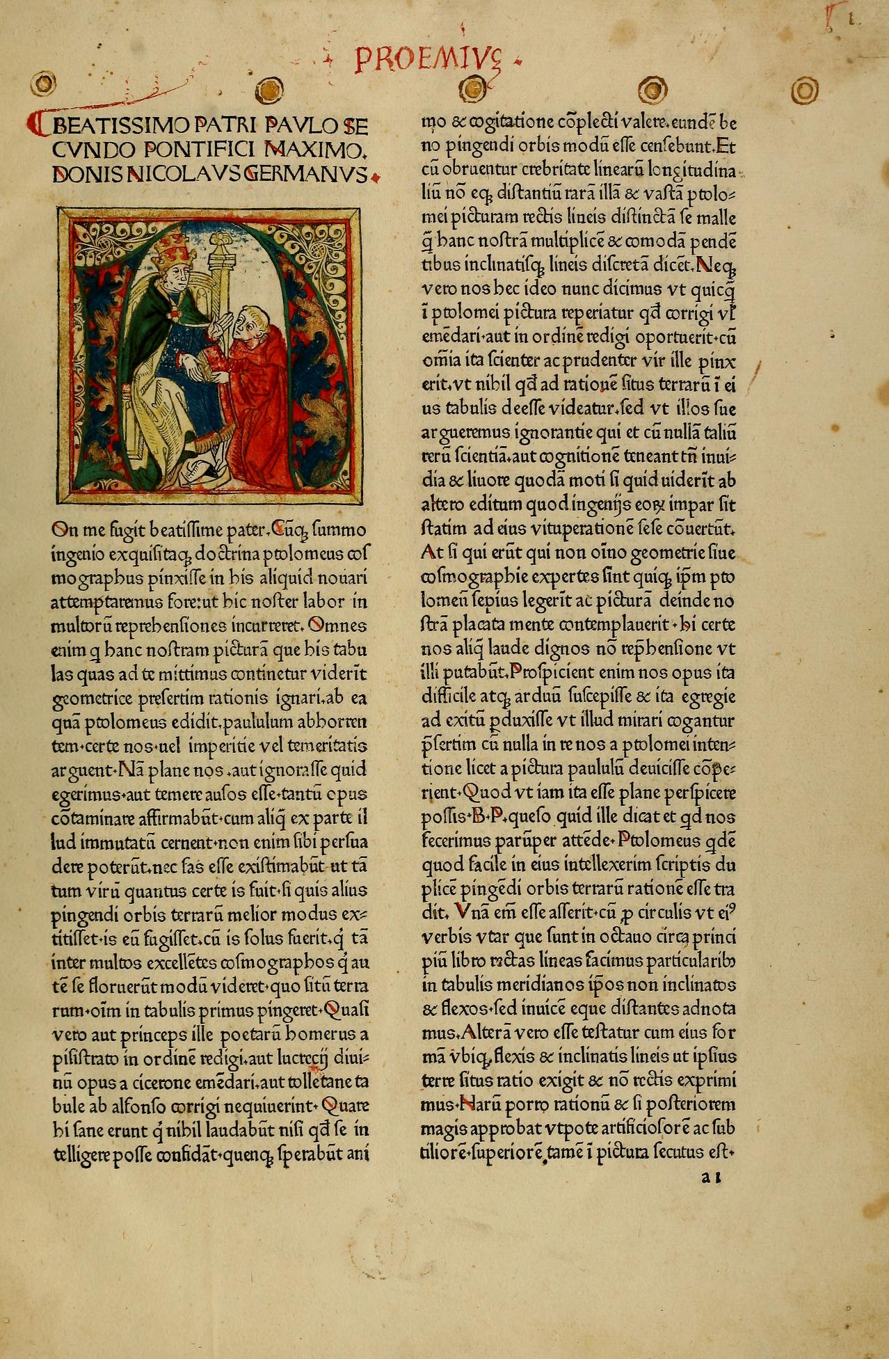
Illuminated opening of the Proemium
Opening of the dedicatory preface to Pope Paul II, "Beatissimo patri Paulo secundo pontifici maximo Donnus Nicolaus Germanus" — the translator-editor Nicolaus Germanus presenting the work, the initial set within a hand-painted miniature of the dedication scene (f. 21).
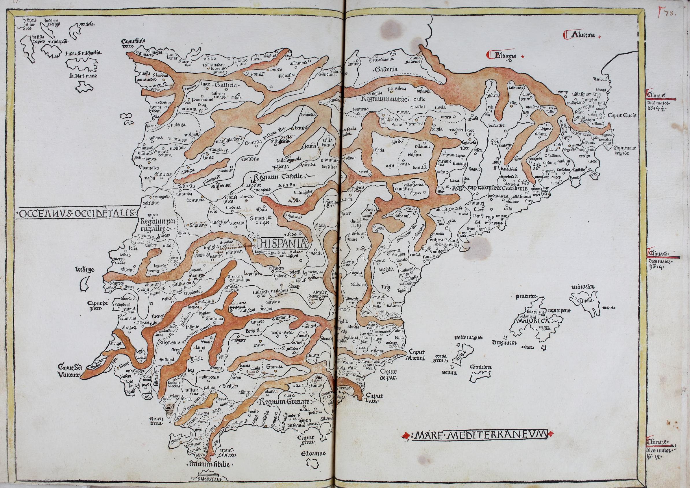
Ptolemaic map of Hispania
"Prima Europe tabula" — the first regional map of Europe, the Iberian peninsula between the Oceanus Occidentalis and the Mare Mediterraneum, mountain ranges washed in brown over the woodcut outline.
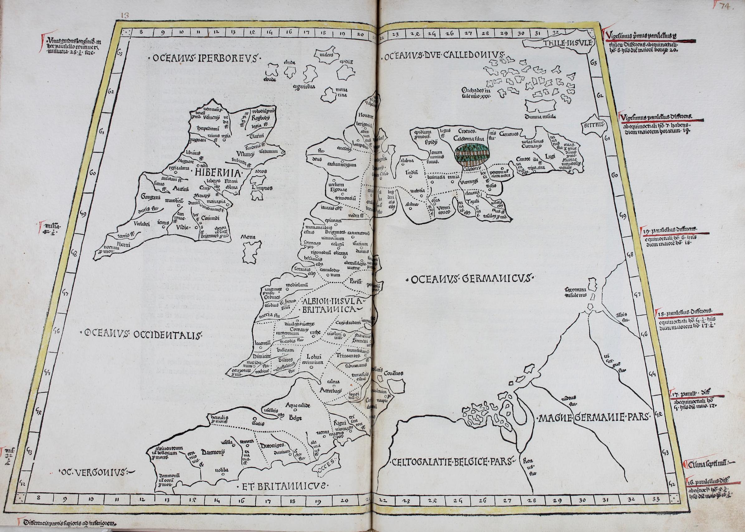
Ptolemaic map of the British Isles
"Secunda Europe tabula" — Hibernia and Albion (Britain), framed by the Oceanus Hibernicus, Germanicus and Occidentalis, with Ptolemy's tribal and place names crowding the outline.
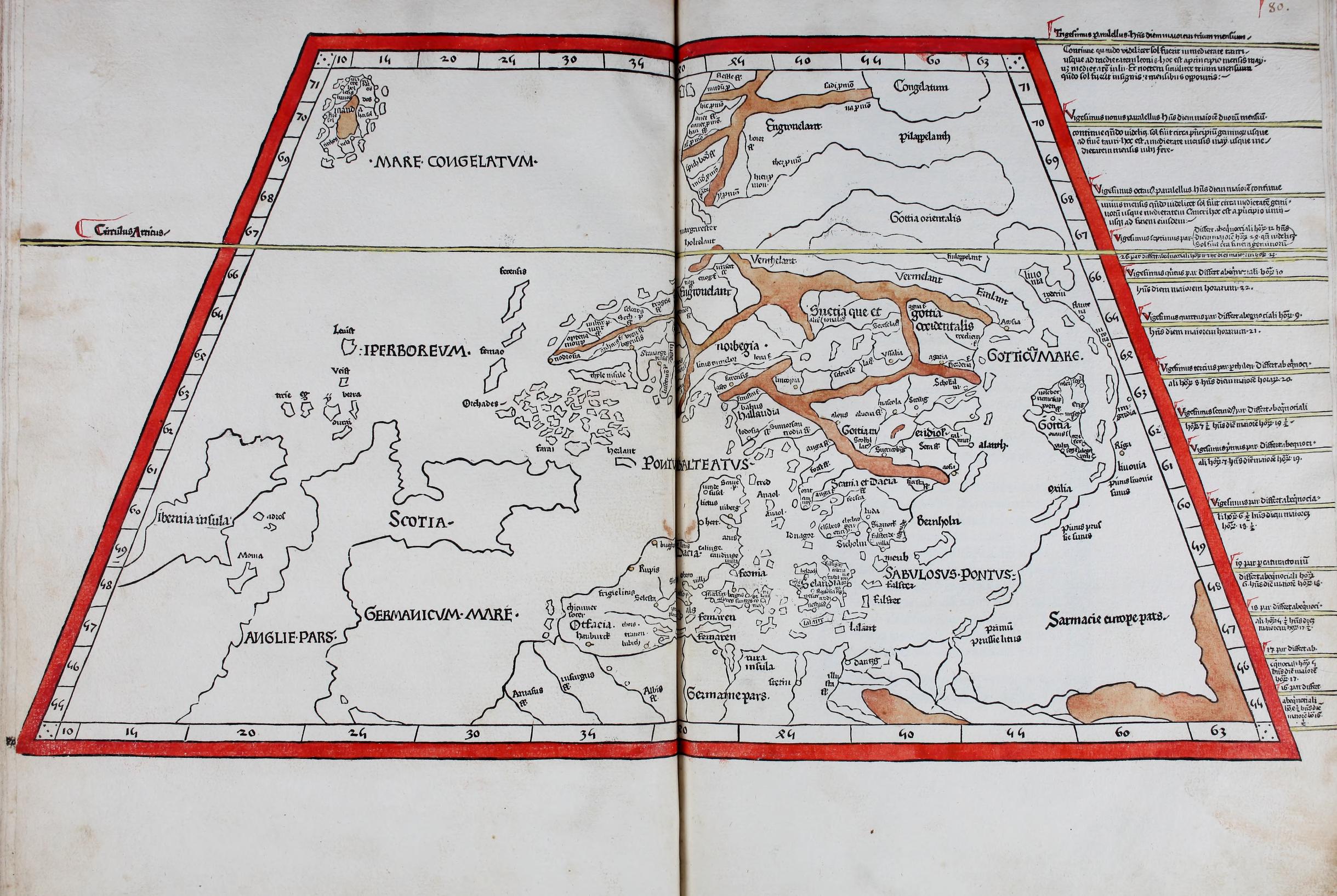
Ptolemaic map of Scandinavia and Sarmatia
"Quarta Europe tabula" — northern Europe under the Mare Congelatum, showing Germania, the islands of Scandia ("Suecia") and the lands of the Sarmatae, with the seas left uncolored against the red trapezoidal graticule border.
1 / 4

The first atlas printed outside Italy. Its 32 grand double-page woodcut maps — seas washed in rich publisher-applied blue — are paired with an early, elegant roman type north of the Alps, and the world map is signed by the blockcutter Johannes Schnitzer. Illuminated copies blaze with gold in the architectural dedication border.

Details

Title
Cosmographia (Geographia)
Author
Claudius Ptolemaeus
Printer
Lienhart Holle
Place
Ulm
Year
1482
Format
Language
Latin
Theme
illustration

Facsimiles

BPL

Images

Boston Public Library, via Internet Archive — Public Domain Mark 1.0

References

ISTC ip01084000